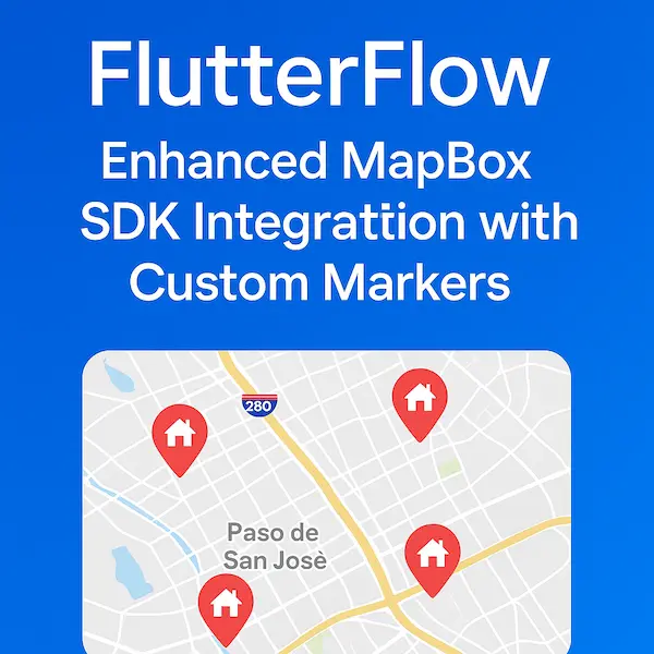
FlutterFlow: Enhanced MapBox SDK Integration with Custom Markers Map library
Published on August 24, 2025
Flutter
Implementing a MapBox map in FlutterFlow with custom markers has never been easier. This enhanced version provides improved coordinate handling and a cleaner API structure. Start with the official MapBox documentation • create an account • and generate your public access token. Get Started | Maps SDK for Flutter | Mapbox Docs
Getting Your MapBox Access Token
Before diving into the code, you'll need to set up your MapBox account:
- Create a MapBox Account: Visit mapbox.com and sign up for a free account
- Navigate to Access Tokens: Once logged in, go to your account dashboard and find the "Access tokens" section
- Create a Public Token: Generate a new public access token with the appropriate scopes for your application
- Copy Your Token: Save this token securely as you'll need it for the widget configuration
Setting Up Your Custom Widget in FlutterFlow
Create a new custom widget in FlutterFlow and configure the essential parameters:
Name your custom widget CBMapBox and set up these parameters:
- places (List<PlaceStruct>) - Your location data with nested LatLng coordinates
- zoom (double) - Map zoom level for initial display
- centerCoordinates (LatLng) - Single coordinate object for map center positioning
- publicAccessToken (String) - Your MapBox public access token from the previous step
- width (double, optional) - Widget width constraints
- height (double, optional) - Widget height constraints
- onClickMarker (Future Function, optional) - Callback function for handling marker interactions
Key Implementation Features
This enhanced MapBox integration includes several advanced features:
Smart Image Loading System
The widget intelligently handles both network URLs and local asset images • automatically detecting the source type • and converting images to the proper format for MapBox display.
Enhanced Coordinate Management
Instead of managing separate latitude and longitude values • the implementation uses a single LatLng coordinate object • providing cleaner data structure • and reducing parameter complexity.
Robust Marker Management
Dynamic marker creation and deletion • real-time updates when location data changes • and efficient memory management for large datasets.
Interactive Click Handling
Proper async event handling for marker clicks • state management for selected markers • and customizable callback functions for user interactions.
Data Structure Requirements
Your PlaceStruct should include:
- latLng property of type LatLng containing latitude and longitude
- imageUrl property for custom marker images (supports both network URLs and asset paths)
- Any additional properties your application requires (name • description • category • etc.)
Map Configuration Options
The widget supports various MapBox styling options:
- MapboxStyles.STANDARD - Modern • clean map appearance
- MapboxStyles.LIGHT - Minimal styling for content overlay
- MapboxStyles.DARK - Dark theme for night mode applications
- MapboxStyles.SATELLITE - Satellite imagery view
Usage in Your FlutterFlow App
Once configured • the CBMapBox widget can be easily integrated into any page or component:
- Add the Widget: Drag your custom CBMapBox widget onto your page
- Configure Parameters: Set your places data • zoom level • center coordinates • and access token
- Handle Interactions: Implement the onClickMarker callback to respond to user taps
- Style Integration: Adjust width and height to fit your app's layout requirements
Performance Considerations
This implementation includes several performance optimizations:
Efficient Image Caching
Network images are properly cached • reducing redundant downloads • and improving map rendering speed.
Smart Marker Updates
Only updates markers when the places data actually changes • preventing unnecessary re-renders • and maintaining smooth user experience.
Memory Management
Proper cleanup of map resources • annotation managers • and image data to prevent memory leaks.
Advanced Customization Options
The widget architecture supports easy extension for additional features:
Custom Marker Clustering
Group nearby markers at lower zoom levels • improve performance with large datasets • and provide cleaner visual presentation.
Polylines and Polygons
Add route visualization • define geographic boundaries • and create interactive map overlays.
Real-time Updates
Integrate with live data sources • update marker positions dynamically • and provide real-time location tracking.
Custom Info Windows
Display detailed information on marker selection • create rich content overlays • and implement custom UI components.
Troubleshooting Common Issues
Access Token Problems
Ensure your token has the correct permissions • verify the token is active • and check that it's properly configured for your domain.
Image Loading Issues
Confirm image URLs are accessible • verify asset paths are correct • and ensure proper image formats (PNG • JPG) are used.
Performance Concerns
Limit the number of simultaneous markers • implement marker clustering for large datasets • and optimize image sizes for mobile display.
Final Thoughts
This enhanced MapBox implementation provides a robust foundation for location-based features in FlutterFlow applications. The improved coordinate handling • better error management • and modern styling options make it an excellent choice for production applications.
The architecture supports easy extension and customization • allowing you to build sophisticated mapping features without complex boilerplate code. Whether you're building a restaurant finder • delivery tracking app • or location-based social platform • this MapBox integration provides the flexibility and performance you need.
For more advanced MapBox integrations and custom Flutter widgets • visit codewhims.com
I have also now added this feature to the UI template on the Flutter Flow marketplace: https://marketplace.flutterflow.io/item/u7b1BfYoid8m5ruvjzYc